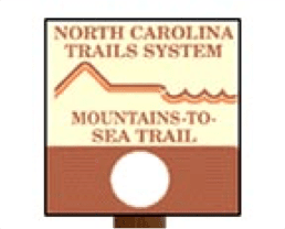
North Carolina’s hiking system is extensive, and its renowned Mountains-to-Sea Trail (or MST) is well-maintained and scenic, attracting millions of residents and visitors alike to its over 1,175 miles of diverse, picture-perfect countryside each and every year. From Clingman’s Dome, high in the Smoky Mountains at the North Carolina/Tennessee border to the path’s official end-point of Jockey’s Ridge of the Outer Banks – the highest sand dunes in the state – the trail is broken down by segments of 36 – 90 miles in length, which vary in difficulty from Easy to Strenuous.
Trail Segments
Some of the more interesting of these hikes traverse southern regions of the Blue Ridge Parkway, Piedmont, Coastal Plain and Highlands ecosystems, as well as wildlife refuges and various historic towns and other areas throughout.
Segment 17: Down East North Carolina / 48 miles / Easy
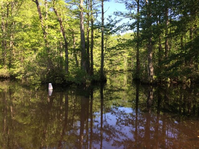
Stretching from Morehead City to spectacular Cedar Island Ferry, this trail explores the Inner Banks, Croatan National Forest, Cedar Island national Wildlife Refuge and marshlands of eastern North Carolina. Several small fishing towns along the way including Smyrna, Davis, Stacy and Williston offer stunning views of the bays and wetlands of the area.
Segment 6: The Elkin Valley / 67 miles / Easy to Strenuous
This tranquil segment of the trail stretches from the hills of Pilot Mountain State Park to Devil’s Garden Overlook in Stone Mountain State park, the latter area being one of the most strenuous segments of the entire Mountain-to-Sea Trail. Here you’ll find waterfalls, trout streams, the 1,600-foot peak of Wells Knob and Surry County’s historic town of Rockford, with additional, optional excursions including a paddling route from Elkin to Pilot Mountain and Stone Mountain horse trails.
Segment 2: The Balsams / 61 miles / Strenuous
The remarkable changes in elevation within this unique segment mean some portions of the trail are steep, difficult and more remote than other areas. The trail itself, interestingly, only crosses a paved road 7 times along its length. Since almost the entire trail is on federally-owned land (Nantahala and Pisgah National Forests and the Blue Ridge Parkway), little to none of this pristine area has been developed. Hikers enjoy views from Waterrock Knob, popular Skinny Dip Falls, and beautiful Graveyard Fields, just off the Blue Ridge Parkway.
Segment 11: Neuse River Greenways & the Let’Lones/ 65 miles / Easy
This relatively easy walk follows the Neuse River as it approaches Raleigh from Falls Lake Dam, past the city and on towards the Howell Woods Environmental Learning Center, in the southeastern corner of Johnston County. The popular hiking route, lined with descriptive signs of local surroundings, including wildlife, crosses back and forth across the Neuse River several times and offers wonderful views of the entire floodplain. Since the entire route is paved, it’s also a great pathway to explore either by bike or by foot.
Get Involved
Officially a part of the State Parks System, specific stretches of the trail are maintained by different agencies, local governments and communities, land trusts, volunteers and private individuals. To get involved in or to provide a donation toward the effort to help take care of or continue expanding the historic route, contact the non-profit organization Friends of the Mountains-to-Sea Trail at any of the venues or events found here
mountainstoseatrail.org
For more information on how to find the trail, what you’ll see along each segment, and how to prepare for your trail hike, visit either of the very informative sites below